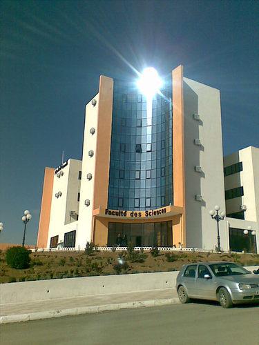
University SÃĐtif 1 FERHAT ABBAS Faculty of Sciences
DÃĐtail de l'auteur
Auteur FALKNER,Edgar |
Documents disponibles écrits par cet auteur


 Ajouter le rÃĐsultat dans votre panier Affiner la recherche
Titre : Aerial mapping : Methods and applications Type de document : texte imprimÃĐ Auteurs : FALKNER,Edgar ; MARGAN,Dennis Editeur : New York : Lewis Publishers AnnÃĐe de publication : 2002 Collection : Environementale science and technology Importance : 1 vol. (192 p.) PrÃĐsentation : ill. Format : 24 cm ISBN/ISSN/EAN : 978-1-56670-557-8 Note gÃĐnÃĐrale : Index Langues : Anglais (eng) CatÃĐgories : Physique Mots-clÃĐs : Physique
Image (Physique)
PhotogrammetriÃĐ
PhotographieIndex. dÃĐcimale : 539.778 Photographie Note de contenu :
Chapter 1. Introduction
Chapter 2. Electromagnetic Energy
Chapter 3. Aerial Films
Chapter 4. Airborne Sensor Platforms
Chapter 5. Aerial Photographs
Chapter 6. Geometry of Aerial Photographs
Chapter 7. Map Compilation
Chapter 8. Map Accuracies
Chapter 9. Photo Scale Selection
Chapter 10. Geographic Referencing
Chapter 11. Aerotriangulation
Chapter 12. Photogrammetric Map Compilation
Chapter 13. Information Systems
Chapter 14. Orthophotography
Chapter 15. Remote Sensing
Chapter 16. Image Analysis
Chapter 17. Project Planning and Cost Estimating
Appendix A. Example of a Typical Photogrammetric Mapping Project Cost Estimation
Suggested ReadingAerial mapping : Methods and applications [texte imprimÃĐ] / FALKNER,Edgar ; MARGAN,Dennis . - New York : Lewis Publishers, 2002 . - 1 vol. (192 p.) : ill. ; 24 cm. - (Environementale science and technology) .
ISBN : 978-1-56670-557-8
Index
Langues : Anglais (eng)
CatÃĐgories : Physique Mots-clÃĐs : Physique
Image (Physique)
PhotogrammetriÃĐ
PhotographieIndex. dÃĐcimale : 539.778 Photographie Note de contenu :
Chapter 1. Introduction
Chapter 2. Electromagnetic Energy
Chapter 3. Aerial Films
Chapter 4. Airborne Sensor Platforms
Chapter 5. Aerial Photographs
Chapter 6. Geometry of Aerial Photographs
Chapter 7. Map Compilation
Chapter 8. Map Accuracies
Chapter 9. Photo Scale Selection
Chapter 10. Geographic Referencing
Chapter 11. Aerotriangulation
Chapter 12. Photogrammetric Map Compilation
Chapter 13. Information Systems
Chapter 14. Orthophotography
Chapter 15. Remote Sensing
Chapter 16. Image Analysis
Chapter 17. Project Planning and Cost Estimating
Appendix A. Example of a Typical Photogrammetric Mapping Project Cost Estimation
Suggested ReadingExemplaires (1)
Code-barres Cote Support Localisation Section DisponibilitÃĐ Fs/0255 Fs/0255 Livre Bibliothèque des sciences Anglais Disponible
Disponible


